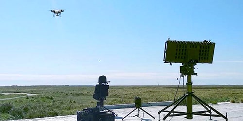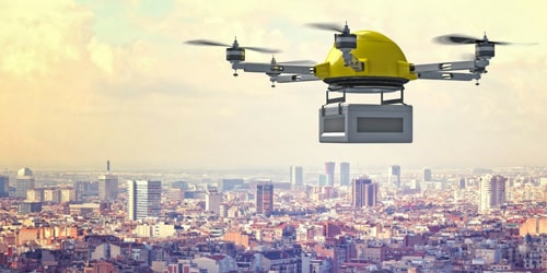


Counter Drone Security


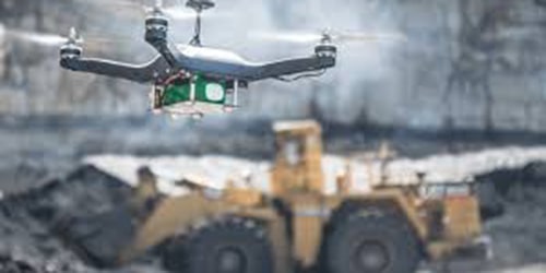
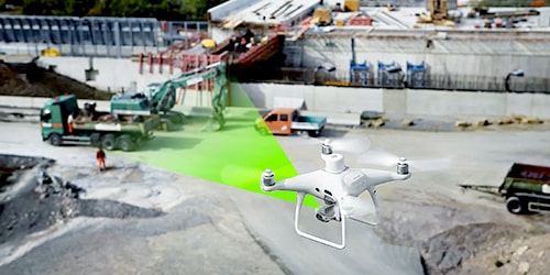
Stockpile Volume Measurement

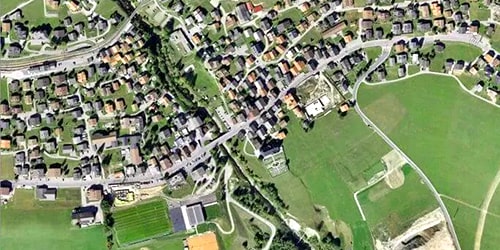
Aerial Surveillance


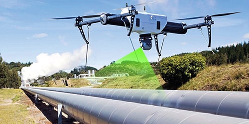
Cliff Surveying

Tactical Surveillance


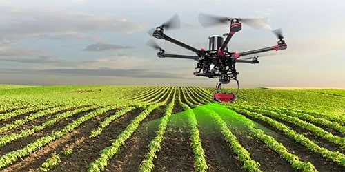
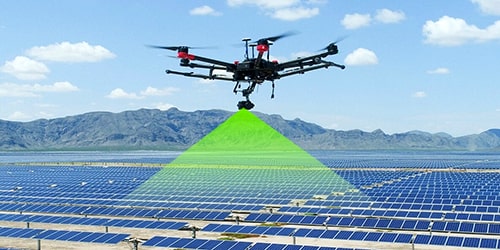
Precision Agriculture