Cartography deals with the analysis of data and measurements of terrestrial surfaces, to later capture them in a graphic way on a reduced scale. Although this discipline has been practiced since ancient times, advances in technology have revolutionized how it is practiced. One of these has been the evolution of drones, which now make it possible to carry out cartographies in a more precise way, and reducing the costs of the operation. In this article we cover how drone mapping is done, and what advantages it has over other traditional means.
What is cartography?
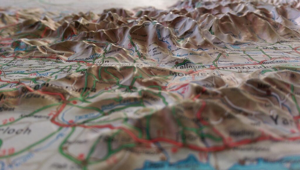
This discipline starts from the foundation that the earth is a geoid (almost spherical body with a slight flattening at the poles) that requires a projection system that allows creating a visualization that represents the sphere that is the earth to a plane. In this way, the relationship between the real dimensions of an object or terrain and its respective equivalent in drawing units is represented.
Cartography plays a fundamental role in the activities that human beings carry out on the surface of the earth, such as:
- Like road construction.
- Land exploration.
- Forest Management.
- Maritime navigation.
Cartography continues to evolve and adapts to day-to-day needs, which are subject to technological development and innovation. At present, this discipline has new possibilities and new challenges open, especially to the extent that spatio-temporal data is sought to be more rigorous and precise, and the processes to obtain them are simplified.
Technological innovations in Cartography
Changes related to the electronic revolution (particularly the Internet) have made it possible for electronic maps and geographic information to be at the fingertips of users. In this sense, one of the devices with the greatest impact is the drone, an unmanned aerial vehicle of military origin that, however, currently performs important functions in the civil sphere, within which it has helped to revolutionize cartography.
How is drone mapping done?
In each flight, a drone can capture all the information of a certain terrain and thus obtain a cloud of points, which is made up of millions of points positioned in space in a three-dimensional way. The vehicles have GPS and high-resolution cameras that help generate aerial images and adapt them in real time. Operators can then process and analyze the results through the use of specialized software.
Advantages of Cartography with Drones
One of the multiple advantages that these vehicles present is the fact that they can carry out complex processes in less time. Data collection is much faster and easier compared to the systems used for traditional cartography, a factor that is also related to the reduction of costs in the logistical and organizational field.
On the other hand, a drone is capable of reaching areas with difficult access and adverse weather conditions, which plays in favor of the safety of the operators.
Recommendations for the use of drones in cartography
- The drones used for mapping are different from commercial drones. Therefore, it is recommended that they be handled by professionals (especially since cartography is a highly specialized discipline). At UAV Latam we provide support in the integral management and handling of drones for a wide variety of specific fields.
- There are a wide variety of drones on the market, each with different specifications and multiple features. It must be taken into consideration that cartographic work requires drones with a powerful battery that guarantee the autonomy of the unmanned vehicle (in short, that the flight time fully covers a determined terrain and does not require subsequent recharging), in addition to the fact that the camera must have a good resolution so that good mapping data can be obtained from the collected images. Information is provided below on two specialized models in this area (for more information, see this link:
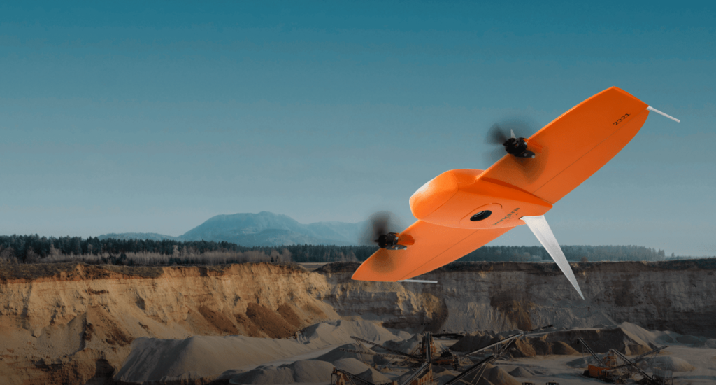
- WINTRAONE GEN II: VTOL drone (“Vertical take off and landing”, also known as hybrid drones) that has an autonomy of 59 minutes, has GPS and a wide-angle oblique camera optimized to generate high-resolution 3D meshes