Topography is a technique aimed at making descriptions and representations in planes of the earth’s surface. In this article we explain what are the most efficient types of drones for photography on the current market.
Although this discipline has been perfected for decades, it has been greatly benefited by the current technological advance in the development of drones. This has made it possible to use new technologies in order to simplify and reduce the risks of field work, managing to increase the efficiency in the collection of complex and/or specialized information.
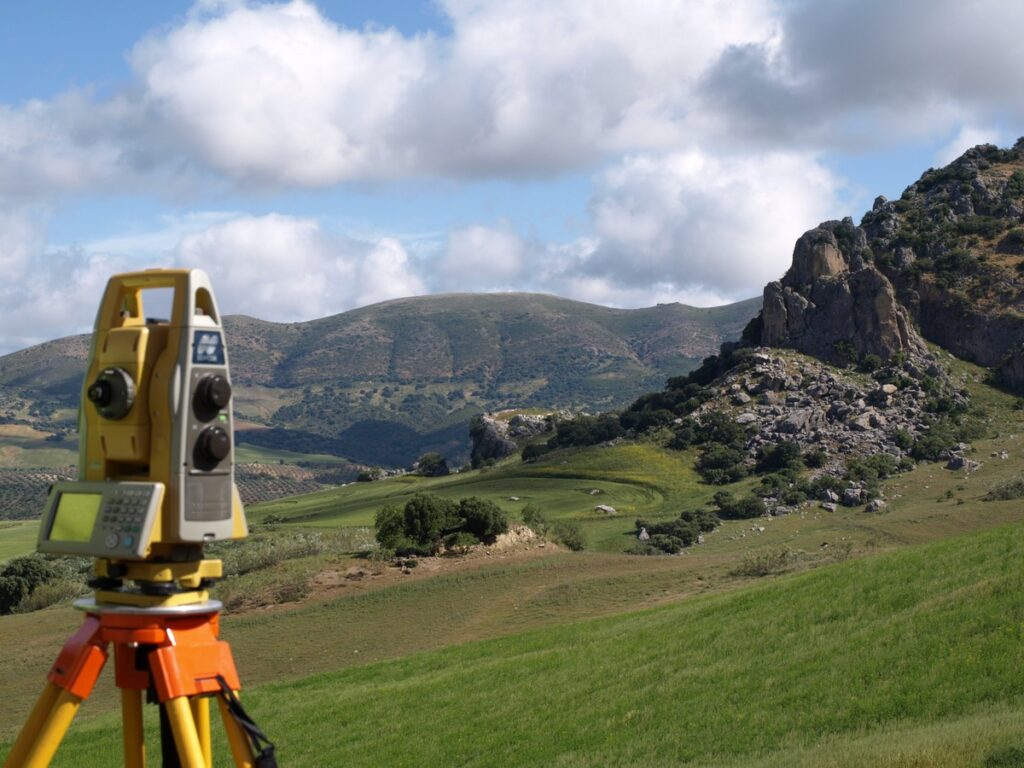
It is in this sense that the use of drones has been of vital importance in this activity since it provides its users with various advantages in terms of productivity and savings. The execution of topographic works is carried out more quickly than with conventional methods. In this way, efficiency is increased by reducing the time and equipment required in the traditional way. Likewise, with the use of drones, the information that can be obtained within an area of interest is maximized, such as:
- point clouds.
- Different elevation models.
- Level curves.
- three-dimensional models.
The use of drones in topography is highly popular worldwide, which is why its production has specialized in multiple areas, among which are: digital cartography, cadastral management, monitoring of structures, volumetric analysis, among others. others.
Types of Drones for Topography
Taking into account the above, below we list the most popular types of drones for topography to carry out topographic work:
DJI Phantom 4 RTK
This drone, manufactured by the Chinese company DJI, is characterized by combining a compact design with an extremely powerful camera with a 20mp sensor and 1-inch CMOS sensor, which produces pixels that better represent the information captured, as well as improving the range. dynamics, contrast, and shots without compromising low-light performance.
This drone guarantees high-precision imaging through TimeSync, a system that is responsible for continuously aligning the flight controller, the RTK module, and the camera. It also has a range of up to 30 minutes and in addition to having built-in RTK positioning capabilities. Facilitating data collection and providing you with a complete solution for surveying, mapping and inspection tasks.
WingtraOne GEN II
As the advertising on its website mentions, WingtraOne is “a mapping drone for large-scale topographic surveys with unmatched data quality […]”: that is, its use is especially oriented towards the photogrammetric and topographic field. managing to carry out the lifting of large extensions. Its particular design allows the sensors it uses to be easily interchangeable depending on the work to be carried out, guaranteeing data collection in an ideal way. Another of the advantages that this drone has is its VTOL design (from the English “Vertical Take-Off and Landing” and which refers to the ability to take off and land vertically), which gives you the possibility of operating almost from anywhere. type of terrain, including confined spaces.
ALTI Transition-M
It is important to mention that there is the option of customizing ALTI Transition drones to be used in other areas such as security, patrolling, etc. However, the “M” series is exclusively designed to be used in photogrammetry and topography work. It also has a 42mp Sony RX1R camera, which provides exceptional quality in image capture. In essence, we have a hybrid drone capable of withstanding the most difficult conditions and of performing both deployments and landings even on rough terrain, all this with an aerodynamic design aimed at achieving first-class performance and at an affordable price.
eBee X Sensefly
One of the drones with the longest time on the market, it is now updated and is presented with its X version whose greatest advantage is its great versatility and it adapts to any type of work, it is enough to just choose the appropriate accessories and accessories. For example: in the field of surveying, the SenseFly S.O.D.A. 3D allows you to capture three images (per shot) instead of one, thus achieving a wider field of vision than other conventional models. On the other hand, the eBee X has a range of up to 90 minutes, has a high-precision system and has “Steep Landing” technology, which is used to make landings in confined spaces.
If you are thinking of acquiring any of these models or other types of drones for topography and would like to implement it in your workflows and/or project, we suggest that you contact the UAV advisory service, a leading development company, integration, production, operation and maintenance of drones, in addition to being widely recognized internationally. For more information visit this link.