Optimize your business from start to finish, with a holistic approach that accompanies you from initial planning to the execution and continuous monitoring of a project.
10+ years of experience
in the most important sectors
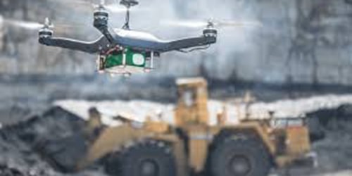
Mining
Detailed geometric and volumetric 3D data, as well as high-resolution geospatial data.
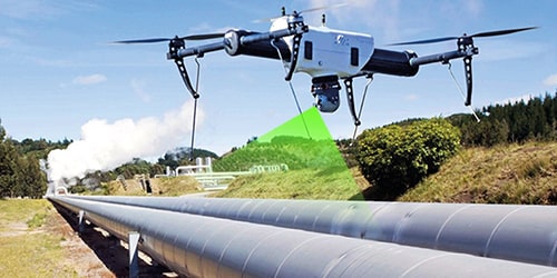
Inspection and monitoring of High Voltage towers and electrical distribution circuits
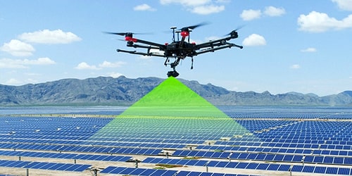
Inspection and monitoring of Photovoltaic Parks
Inspection and monitoring of Wind Farms
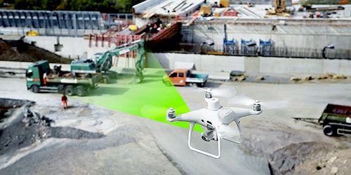
Monitoring of project works
Thermographic inspections on solar panels
Government
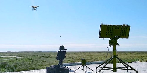
We have a wide range of services aimed at supporting the public/state sector in SAR operations, aerial surveillance, border control, care of heritage assets, among others.
"Pleased with the LIDAR data capture and processing service requested from UAV LATAM for the road expansion project on the Santiago – San José De Las Matas route. The data received was of great use to our road design team."
"We value the opportunity provided by UAV LATAM through their services, granting us access to their drone technology, data processing software, and expertise in the capture, processing, and analysis of geospatial data, as well as the application of artificial intelligence in related projects of our members."
"The surveys conducted by UAV LATAM had a high level of precision and quality. Undoubtedly, a notable expertise in image capture with drone technology and visual sensors, as well as data processing and analysis, is evident."
"We are pleased to be able to validate the provision of the service, where we recognize the effort, dedication, and professionalism. We will certainly continue to hire their services. We recommend the excellent provision and attention of the service received from UAV LATAM."
"UAV LATAM has provided services in the field of surveying using LIDAR sensors transported by RPAS or drones for topographic surveying in the Pococí sector, an area with high vegetation density and difficult access. We validate the provision of the service, especially the timing and quality of the data delivered to us."
"The service provided by UAV LATAM facilitated our work exponentially, ensuring the safety of our mine personnel, as well as providing high-value information that has allowed us to save on operation time."
Previous
Next
Contact us
talk to an expert now
Face the challenges of your organization with a new approach. Explore the potential of drone solutions and artificial intelligence.
Find out how we can help you boost your business today!
Complete the form and our team will contact you!